













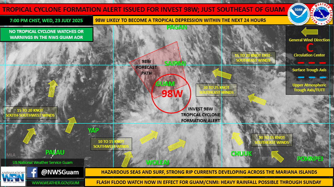
Guam and the Northern Mariana Islands should expect heavy rainfall and strong winds over the next few days. National Weather Service Guam Weather Forecast Office meteorologists are watching a tropical disturbance, Invest 98W. Officials expect the system will become a tropical depression by late Thursday afternoon as it passes just west of Rota. It’s expected to bring thunderstorms and gusty winds across the Marianas and Guam through the weekend.
In Yap, residents are urged to monitor reports on weather and sea conditions. As 98W passes by to the north, the monsoon will strengthen bringing periods of showers, thunderstorms, locally heavy rainfall and gusty winds, particularly across the Yap islands and atolls east of Yap Proper. Residents are also urged to postpone inter-island travel until sea conditions subside.
In Guam and the Marianas, residents can expect rainfall of up to 12 inches through Saturday night, with locally higher amounts possible. A flash flood watch remains in effect for Guam, Rota, Tinian, and Saipan through late Saturday night.
Officials are urging people living near flood-prone areas to clear drainage areas and unblock storm drains to minimize flooding. In addition, residents and visitors are advised to take the following precautionary actions:
· Stay up to date with the latest information;
· Clear loose debris around your yard and store any items, such as tents and canopies, that may become airborne with heavy winds, before inclement weather arrives;
· If driving, be alert for low visibilities in heavy rain;
· Slow down where water is ponding on the road;
· Turn Around, Don’t Drown. Avoid walking or driving through flood waters. Just 6 inches of moving water can knock you down, and 2 feet of water can sweep your vehicle away;
· Do not camp, park, or hike along streams and rivers. These areas can flood quickly and with little warning. mbj
Developing tropical system to bring rain to Guam, the Marianas and Yap
Developing tropical system to bring rain to Guam, the Marianas and Yap
- Date Posted: Jul 23, 2025
- News: Federated States of Micronesia, Guam, Northern Mariana Islands
-
Share this News
Developing tropical system to bring rain to Guam, the Marianas and Yap
Recommended Articles...
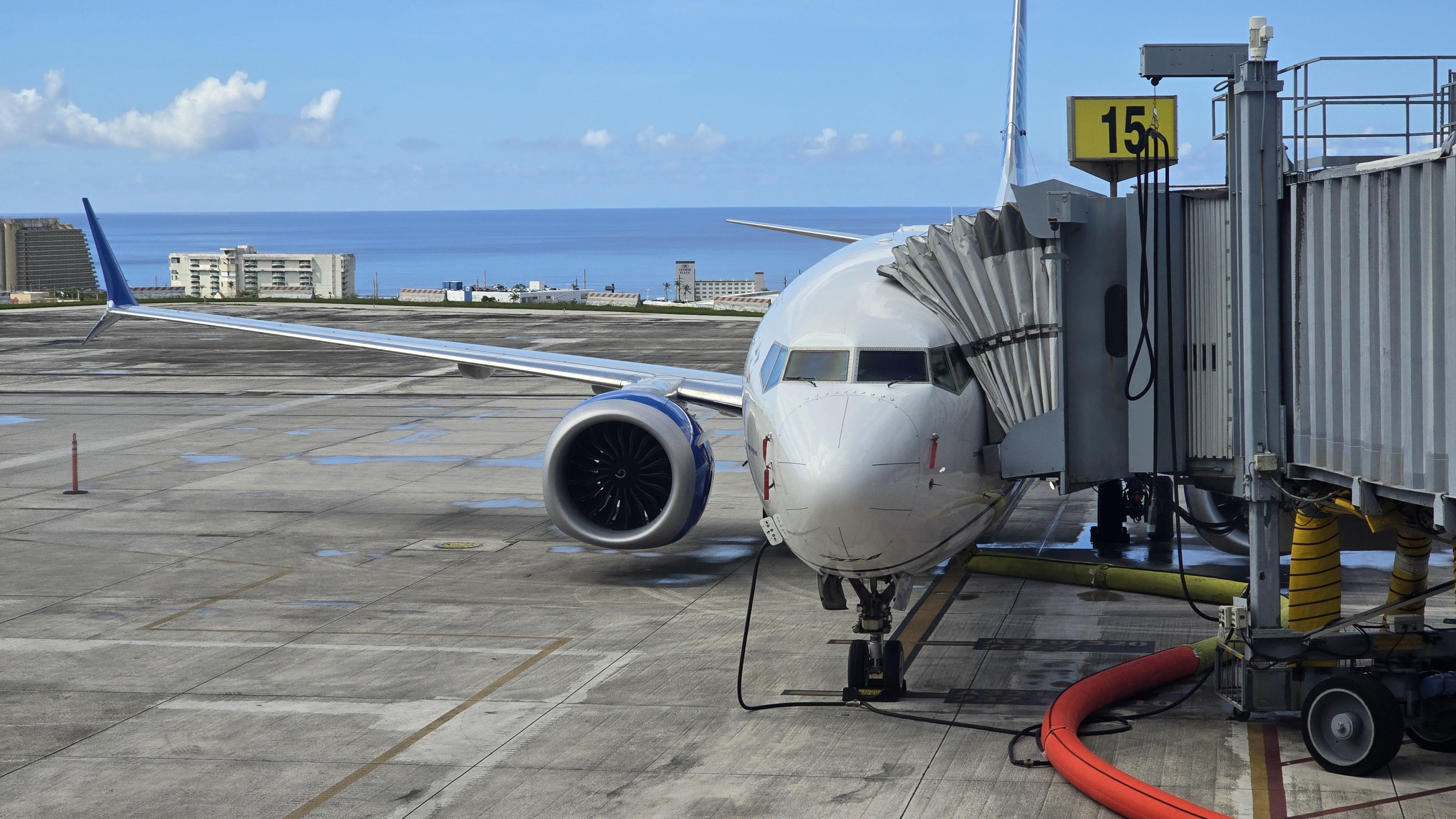
Airline emphasizes commitment to Guam and the region
If there was an overarching message from David Kinzelman, chief customer officer and senior vice president for airport operations, during his visit, it was that the region is not only important to the airline, but that its customers receive the same attention as anywhere else in the United network.
Read More 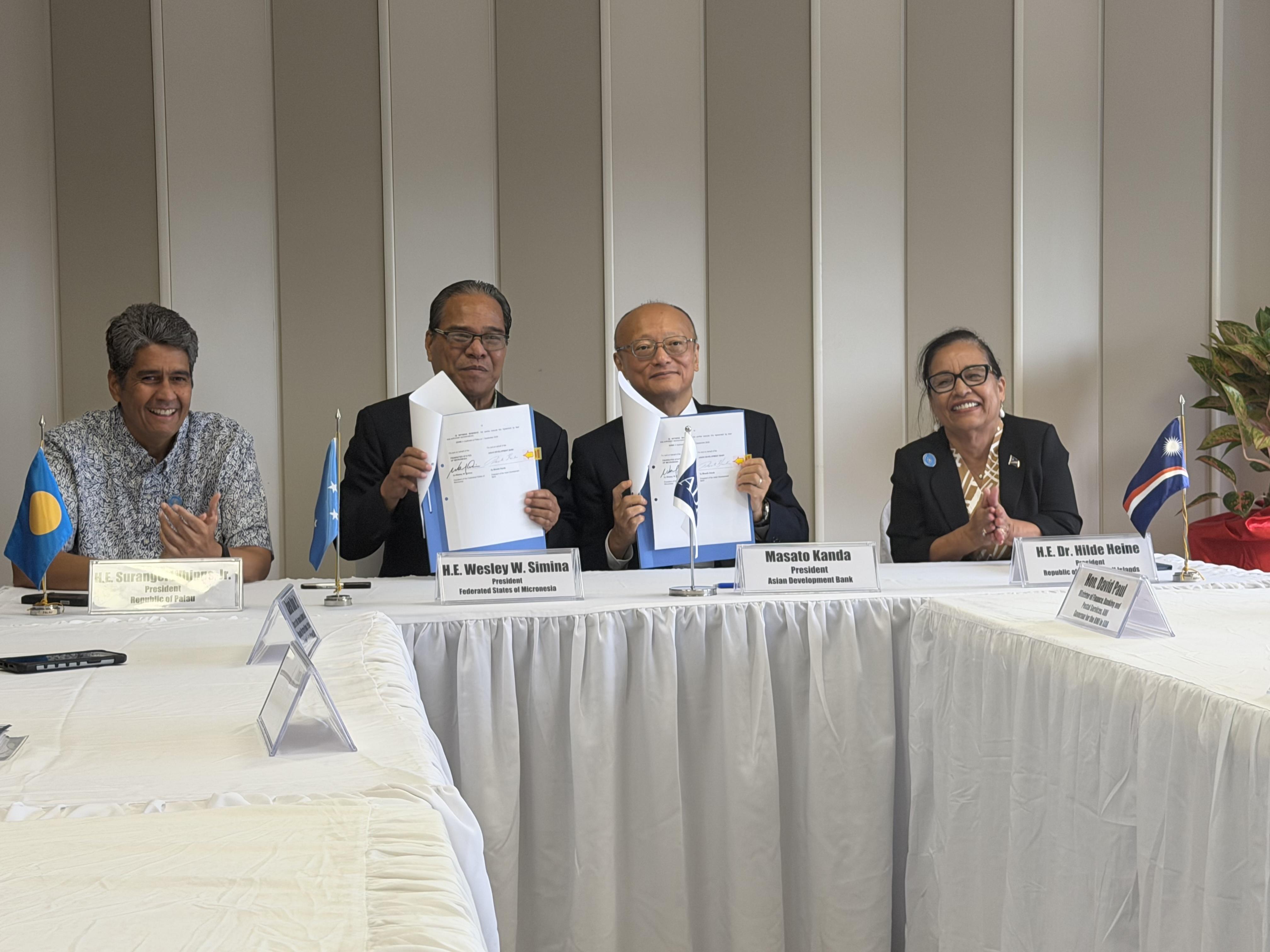
ADB, U.S. and Australia announce major funding pledges on sidelines of 55th Pacific Islands Forum
Leaders and officials converged here this week on the margins of the 55th Pacific Islands Forum Leaders Meeting, announcing a series of financial commitments aimed at bolstering the region’s fiscal stability, energy security and border security.
Read More 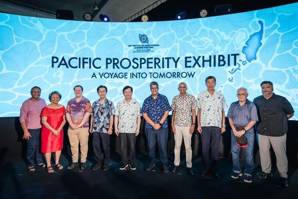
Senior diplomats are in Palau for the Pacific Island Forum
The Pacific Prosperity Exhibit officially opened Aug. 27 at the Palau National Gym ahead of the 55th Pacific Islands Forum Leaders Meeting.
Read More 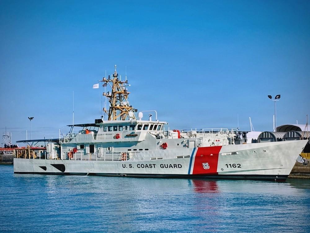
Coast Guard cutter Vincent Danz joins search effort, welcome ceremony postponed
The Vincent Danz joined a search for a missing skiff, with several people aboard, near the Federated States of Micronesia on Aug. 4.
Read More