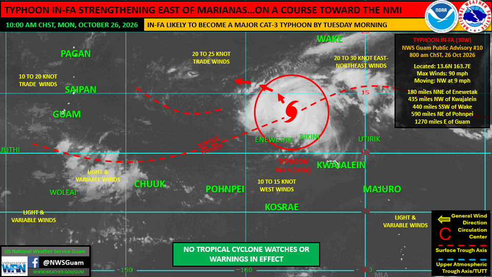














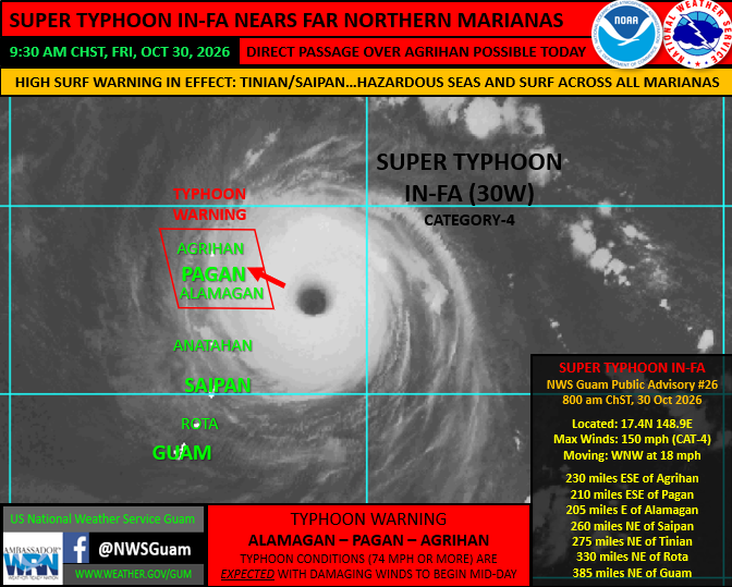
Super Typhoon In-fa reached Category 4 status on Oct. 30 with maximum sustained winds of 150 mph, posing an immediate threat to the northernmost islands of the Commonwealth of the Northern Mariana Islands as it tracks west-northwest at 18 mph.
Typhoon warnings remain in effect for the northern islands of Alamagan, Pagan, and Agrihan, with direct eye passage over Agrihan possible, according to Landon Aydlett, warning coordination meteorologist for the National Weather Service Weather Forecast Office Guam.
Tropical storm force conditions were expected by late morning, followed by damaging typhoon force winds in the afternoon. While the storm tracks well north of the primary commercial centers, hazardous sea and surf conditions will impact coastal waters across the region through the weekend. Tinian and Saipan are forecast to experience combined seas of 11 to 14 feet, surf of 13 to 18 feet along northern and eastern reefs, and minor coastal inundation up to one foot.
Guam and Rota will see combined seas of 7 to 10 feet with surf reaching 9 to 12 feet.
Typhoon force winds extend outward up to 85 miles from the storm's core, primarily in the northern periphery, while tropical storm force winds extend up to 155 miles. NWS officials advised residents in the affected northern NMI islands to remain in safe shelter throughout the duration of the storm's passage. mbj