DPW plan focuses on funded defense road project and much more
by Althea Engman Journal Staff
There's about $280.9 million in federal funds that will be used to harden Defense Access Roads that essentially connect U.S. military installations in Guam, stretching from Andersen Air Force Base to Marine Corps Base Camp Blaz to Naval Base Guam.
While these funds focus on fixing roads and thoroughfares most used by military personnel, Routes 15, 16, 1 and 3 also are the island's main arteries, which means local residents and businesses benefit as well. Typically, federal funds are available for highways and main thoroughfares, secondary and tertiary roads are the responsibility of the local or state government.
The Guam Department of Public Works held a public meeting on the Guam Transportation Improvement Plan with the Guam Mayors Council on Sept. 25 to discuss the plan and for it to be publicly viewed. DPW said the plan is "a fiscally responsible" one that "prioritizes highway projects for federal funding."
Agency officials developed the GTIP to meet federal requirements. A breakdown on the Guam Transportation Improvement Plan for 2024 to 2027 shows:
National Highway System Projects and Services: $81,030,000
Section 1934: $705,326
Defense Access Road: $280,875,000
Grant Program: $294,231
Grant Anticipation Revenue Vehicles (GARVEE): $35,000,000
That's roughly half of the $689,355,326 in funds anticipated to be available to the Department of Public Works for transportation projects from 2024 to 2027, according to the plan. The GTIP projects, identified through a comprehensive process, aim to address safety issues like flooding and improve traffic operations. Funding will primarily come from the U.S. Federal Highway Administration’s Federal National Highway System.
The GTIP is an extension of the 2030 Guam Transportation Plan, a long-term strategy that looked at population growth linked to the shift of U.S. Marines from Okinawa to Guam.
The study was based on a detailed analyses of the existing roads and projections of needs, as well as discussions with the Government of Guam, the FHA, and the U.S. Navy. Required improvements identified generally fall into one of the following categories: Pavement strengthening, roadway widening, intersection improvements or bridge replacement.
The Rte. 3 widening project in Guam awarded to Black Construction Corp. was funded by the Department of Defense, with funds transferred to the Federal Highway Administration. The road leads to Marine Corps Camp Blaz. Photo by Althea Engman
Some of the improvements identified in the 2008 report have already started or are completed, such as Route 3 to Camp Blaz and the Route 1 Hagatña Bridge.
The 2030 GTP was then finalized with forecasted traffic growth through the year 2030 and impacts associated with the potential U.S. Department of Defense build-up.
According to the executive summary of the 2024-2027 GTIP Final Draft, the list of projects is a product of a consensus building process with decision-making supported by data driven analysis that was carried out by the DPW in cooperation with local villages, utility providers, the local government agencies, and federal government agencies.
The plan consists of a priority list of highway projects, which are being advanced toward implementation over the four-year period from federal fiscal 2024 to address safety, pavement and bridge conditions, and traffic operations. Projects are selected to be placed on the GTIP based on three main factors: condition and need, source of funds, and availability of funds available from the Federal Highway Administration.
The eligible projects and activities for which funds may be used include cost-effective, preventive maintenance, ferry boats, terminal facilities, engineering and economic surveys and investigations for the planning and the financing of future highway programs.
The $24 million contract to manage the GTIP was awarded to WSP USA Inc. The contract is for three years with two one-year options. According to its website, WSP provides technical expertise and strategic advice to clients in the transportation and infrastructure, property and buildings, environment, industry, resources, and energy sectors, as well as offering project and program delivery and advisory services.
The long-range 30-year plan was finalized in 2008. While preparing for it in 2005, the then-DPW Chief Engineer, Marc Gagarin. told the Journal that “the Government of Guam is assisting the Navy by supplying documents needed for an environmental study of the locations.”
Gagarin said, "Once a corridor has been established, I am sure there will be an environmental assessment that will have to be made and that is a long process. Construction or even the conceptual phase of this potential project is years away; a process that could take 10 to 15 years."
He also said with specific route for a munitions road, which would begin from Naval Magazine to Route 17, Cross Island Road, to LeoPalace Resort Guam and connect to Route 4. From there, the two possible routes were either to Route 10/Vietnam Veterans Highway, or directly to Route 15 (the back road to Andersen) and then from Route 15 to Andersen and along the perimeter fence to Potts Junction.
Gagarin said because the road would cut across virgin lands the federal government would have to acquire private property to create such a highway. mbj
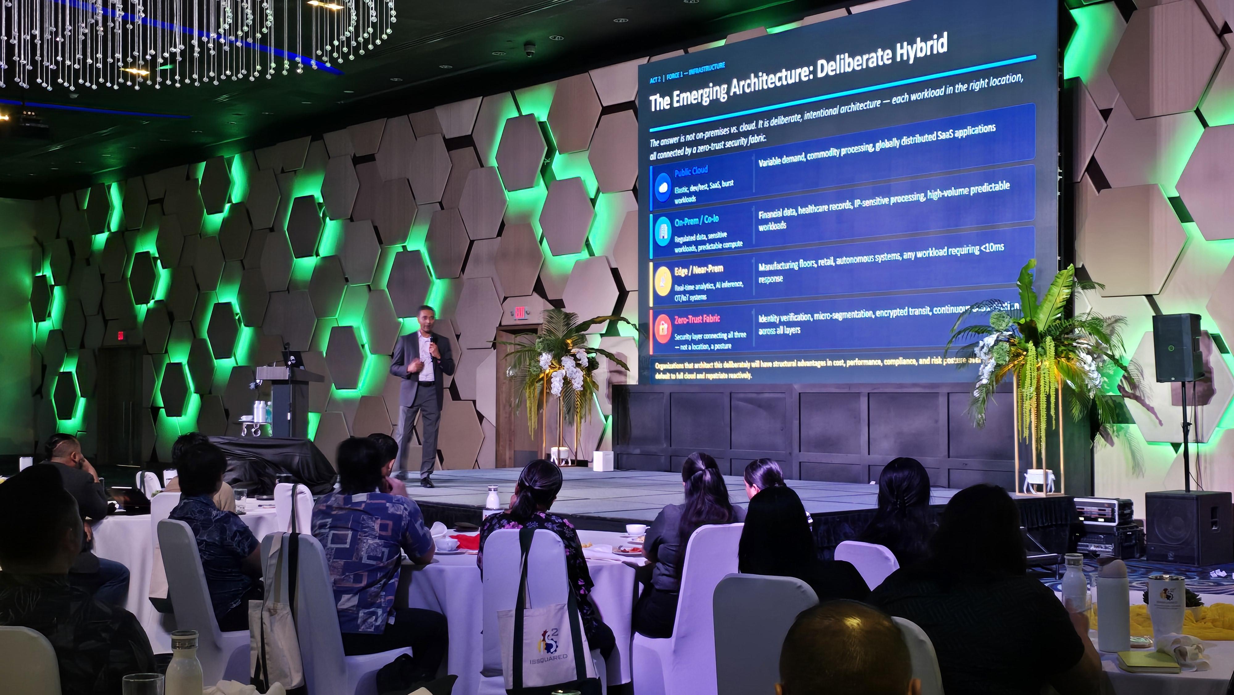
Rapid advancements in artificial intelligence, escalating cybersecurity threats, and mounting physical power grid constraints are forcing regional business leaders to fundamentally overhaul their technology strategies, shared to industry experts during a technology conference held Thursday at the Dusit Thani Guam Resort.
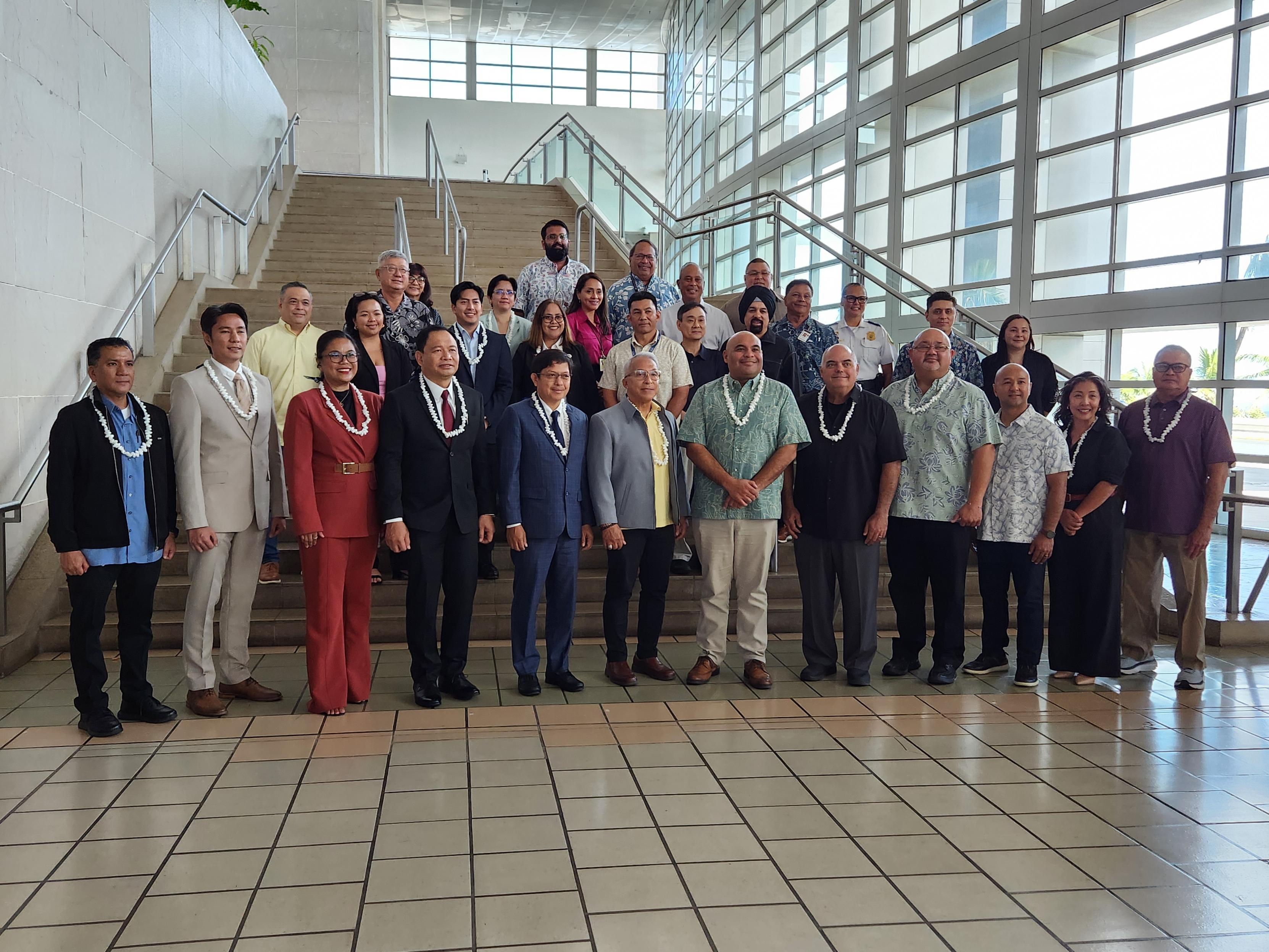
Regional leaders, government officials, and industry executives gathered at the Guam International Airport Authority on Wednesday, July 22 for the inaugural session of the Guam-CNMI Visa Waiver Working Group, driving a unified regional effort to expand the Guam-CNMI Visa Waiver Program to include the Philippines.
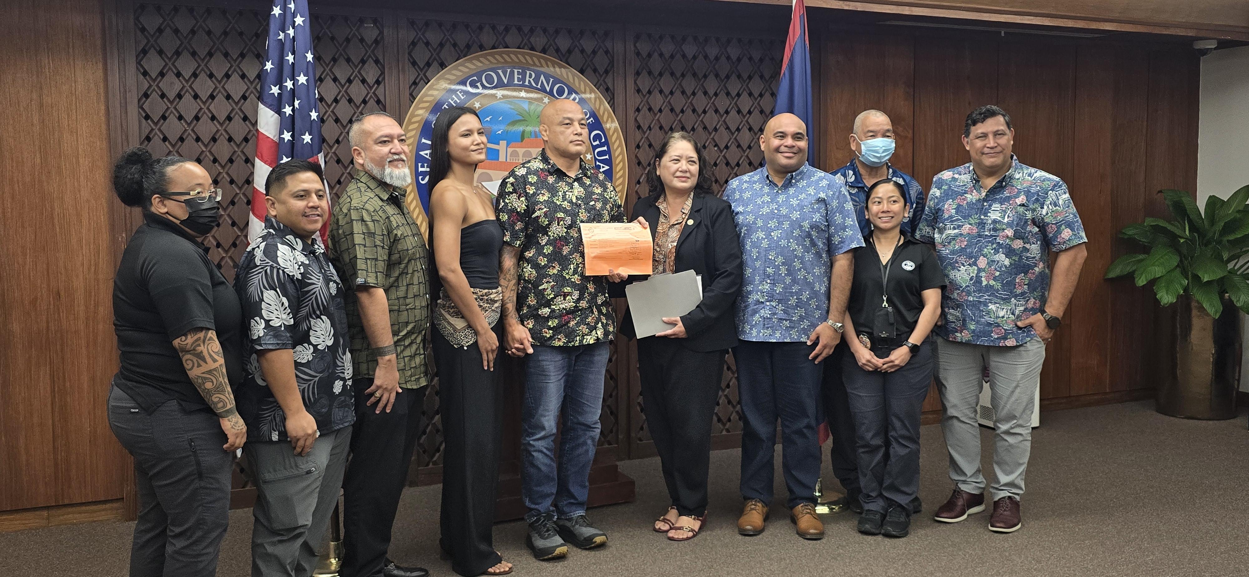
The commercial adult-use cannabis industry on Guam has officially launched following the issuance of the island's first recreational cannabis cultivation license to local grower Stephen Roberto, operator for Deep Green Guam of Guam Real Deal, LLC.